Jed Smith has helped map more than 4,500 miles of routes across Appalachia and is part of a growing effort to turn motorsports tourism into a real economic engine for the region.
Working across Backroads of Appalachia and the Appalachian Overland Triangle, he builds overland routes, connects communities to events, and helps design experiences that bring riders and drivers into small towns across West Virginia, Kentucky, and Ohio. One of his signature projects, 24 Hours of Appalachia, has already helped raise nearly $250,000 for regional charities while growing into a major endurance overland challenge.
What makes that work notable is not just the scale of the mapping, but what happens when those routes meet real places. Small towns that once sat off the radar suddenly become checkpoints, gathering points, and overnight stops for riders passing through. Local businesses see new traffic, and communities get a different kind of visibility that comes from people experiencing the roads rather than just passing them.
In this episode of Access Appalachia, Jed breaks down what it actually takes to build these routes on the ground, what happens when an overland event rolls into a community, and why Appalachia’s roads and terrain are becoming a destination rather than just a backdrop.
Access Point: Greenbrier River Trail
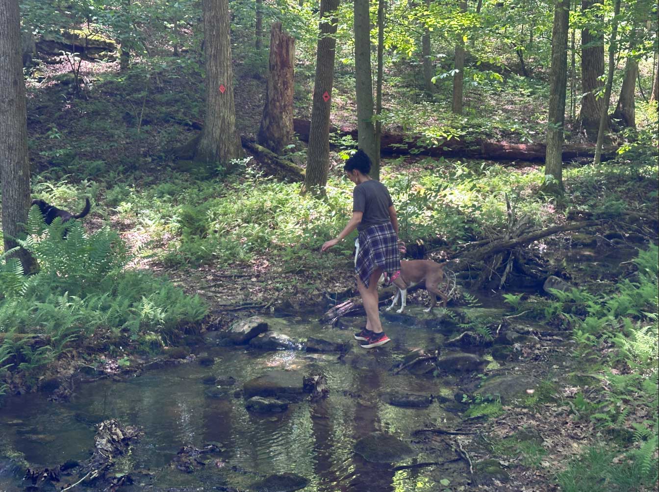
This week’s Access Point is the Greenbrier River Trail, an 78 mile rail trail running from Cass Scenic Railroad State Park to Caldwell along the Greenbrier River. It features bridges, tunnels, river access, and small towns throughout the route, with options for biking, hiking, camping, and paddling right alongside the trail.
Learn more about: Backroads of Appalachia / Appalachian Overland Triangle / Greenbrier River Trail / River City Bikes & River Adventures / Bike Packing Guide Article